
An iPhone app and field hardware for surveyors.
Prairie Point is a one-person shop in Calgary, run by a working construction surveyor. Everything here started as a problem on a job site.
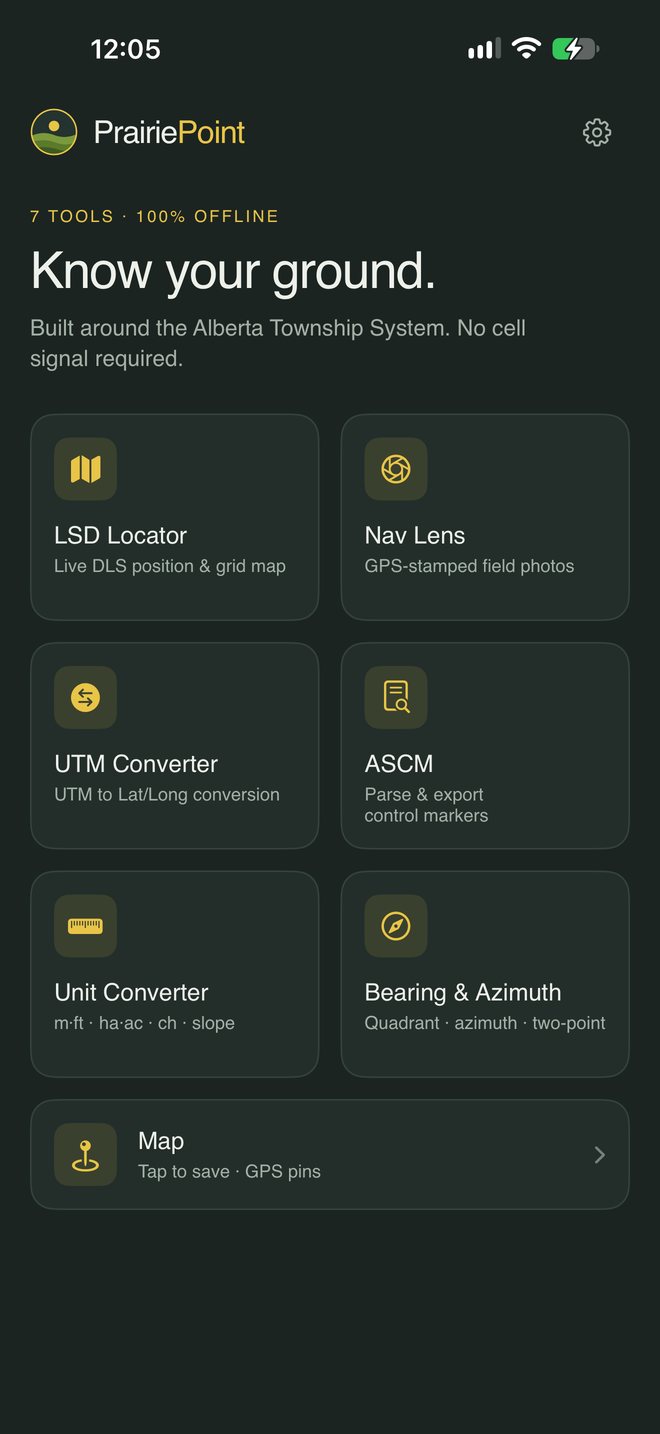
The Prairie Point app
Seven tools built around the Alberta Township System, in one app so you aren't switching between three. Everything works without cell signal.
Free for 7 days, then $29.99 CAD a year · iPhone
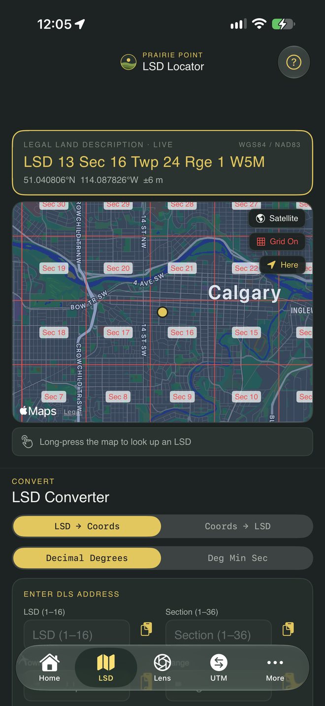
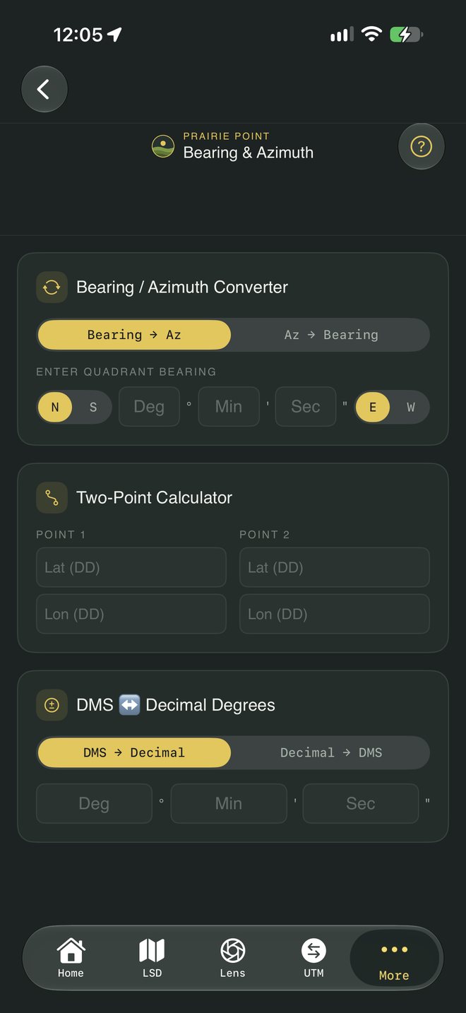
| LSD Locator | Shows your live position as an Alberta LSD on a grid map, and converts between legal land descriptions and coordinates. |
|---|---|
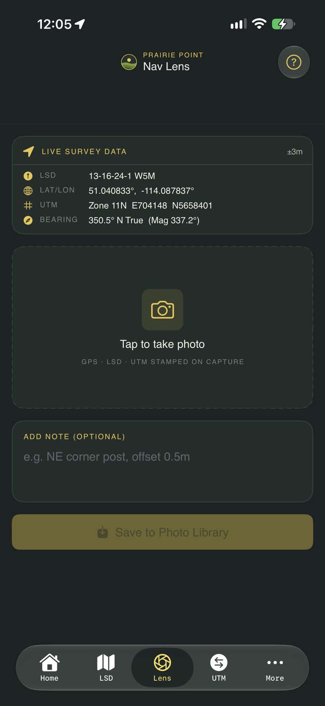
| Nav Lens | Takes photos stamped with GPS, LSD and UTM at the moment you take them, with an optional note. |
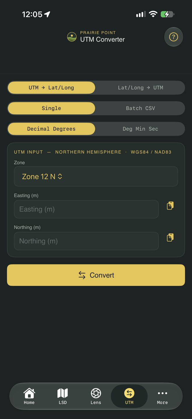
| UTM Converter | UTM to latitude and longitude and back, one point at a time or a batch from a CSV. |
| ASCM | Parses and exports Alberta Survey Control Markers. |
| Unit Converter | Distance, area, chains and slope. |
| Bearing & Azimuth | Quadrant bearings to azimuths and back, DMS to decimal degrees, and the bearing between two points. |
| Map | Save GPS pins and see where you are. |
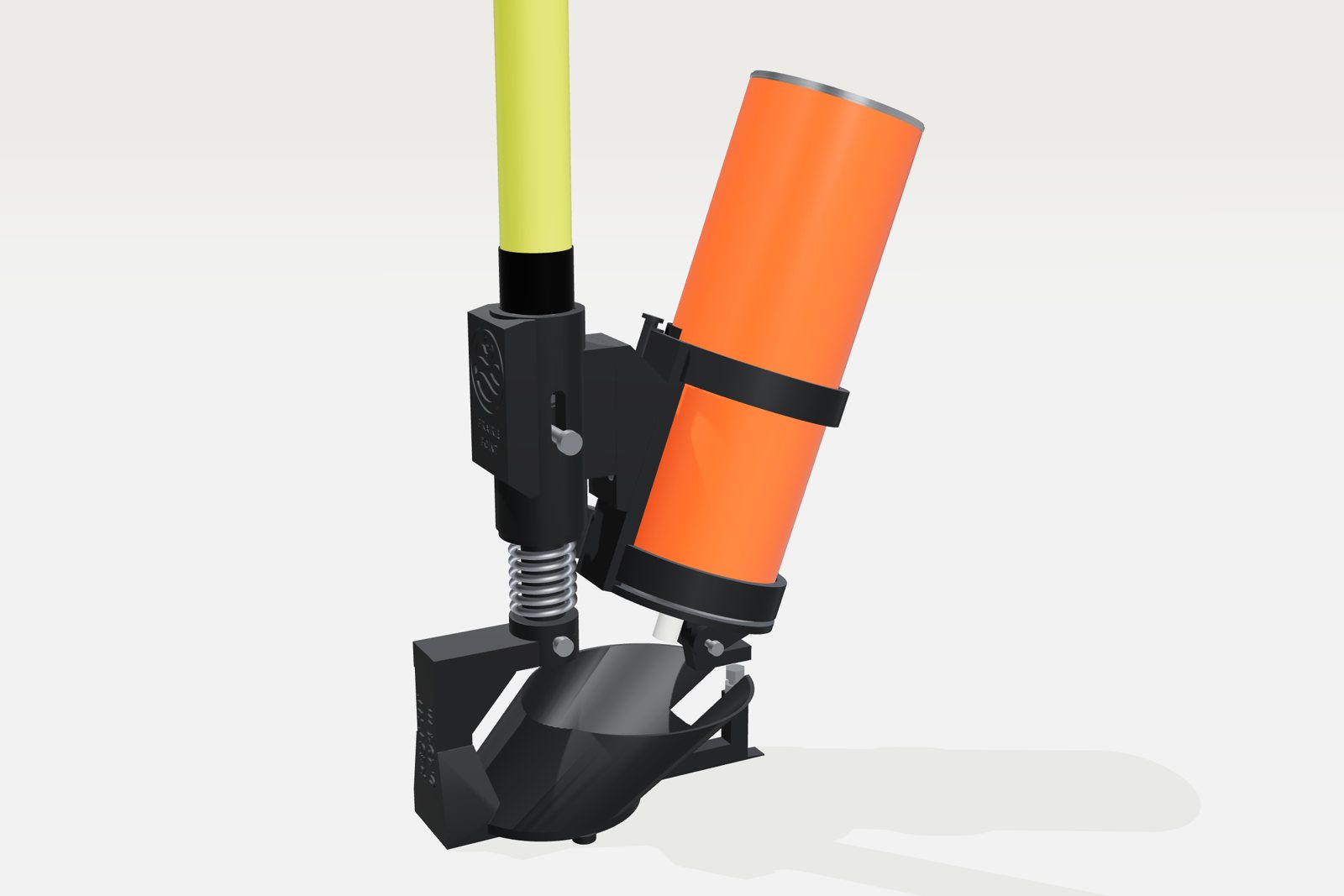
PoleStamp
A paint marker that threads onto your survey pole. Set it on the point, push down, and it sprays a Y with a centre dot through a stencil. No bending over, and the mark is centred on the pole every time.
$169 CAD · taking pre-orders